
About Aarav Unmanned Systems (AUS)
Aarav Unmanned Systems (AUS), is the pioneer Agritech company in India that develops professional drone solutions for private enterprises and public sector. The company got started from IIT Kanpur campus in the year 2013 and is presently headquartered in Bengaluru. With their continuous Research and Development efforts on Drone Intelligence, Hardware optimization & Design innovation, drones manufactured at AUS are constantly setting world-class technology benchmarks.
Aarav Unmanned Systems (AUS) is backed by a number of reputed investors like GrowX, 500 Startups, StartupXseed, 3one4 Capital, Valpro, and renowned individuals Mr. Ashok Atluri (Zen technologies) and Mr. Sanjay Jesrani (GoNorth ventures).
USP of Aarav Unmanned Systems Drones
– Ease of Use: Aarav Unmanned Systems (AUS) builds autonomous drones which come with ease of operation and can be operated by any user without specialized training.
–Technology IP: Drones build at AUS go through countless iterations and rigorous testing to bring the latest technology to user over which AUS has the IP.
–Scale of operation: AUS’s experience manpower coupled with the in-house technology is helping AUS achieve high standards in terms of quality and scale of operation.
Product Capabilities of Aarav Unmanned Systems Drones
–Field Data Capturing capability up to 9000 Hectares per day at 3 cm resolution
–Data processing capability up to 5000 Hectares per day
–Absolute Accuracies Horizontal 5cm; Vertical 10cm
–Terrain Capability With special terrain follow capability, obtain uniform resolution and accuracy even across hilly terrains.
–Output : 3D point cloud , DSM / DTM , 2D Orthomosaic, Contours, Planimetry maps, Base maps, Stockpiles and Volumetric estimates, Environmental assessments, Surface plans, Safety analysis, NDVI, 5 Band Multispectral
Project Types and Empanelment
-Road and Rail Corridors mapping
-Irrigation and watershed planning
-Urban Development and Smart Cities Planning
-Mines and Stockpile Volume Estimation
-Multispectral imaging for Precision Agriculture
AUS is empanelled with majority of state governments in India related to UAV based survey and mapping. The notable bodies are Maharashtra Remote Sensing Application Center, Centre of Management and Development- Kerela, West Bengal Electronics Industry Development Corporation, Andhra Pradesh State Fibre Limited and Directorate of Mining and Geology , Telangana.
Drone Use Case for Irrigation
–Flood simulation Drone survey helps re-create the entire topography into millions of 3D data points; this helps in performing flood simulations over the data and accurately identify low lying areas which are sensitive to flooding and plan safety aspects.
–Drain planning Slope analysis can be performed more accurately than ever; this helps to plan all grade drains and check dams in a holistic manner.
–Capacity planning Estimate the exact storage capacity of drains/dams/canals/reservoirs; this way irrigation planning can be done effectively and farmlands can be benefited immensely.
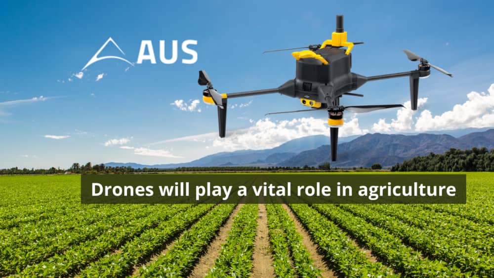
Future Outlook of Drones in Agriculture
Drones (UAV’s) offer a range of exciting possibilities for improving the management of crops, livestock, fisheries, forests and other natural resources. UAVs application in agriculture opens the gateway to access real time information on the farm. It can be used at different stages throughout the cropping cycle:
– Soil and field analysis – After getting precise 3D maps for soil, plantation and nutrient requirements of the crop can be analysed for further operations.
– Planting – UAV’s can shoot seeds with nutrients in the soil with an average uptake of 75 percent, thus bringing down costs for planting.
– Crop spraying – The promise of drones not only limits on crop monitoring through imagery captured by its high resolution cameras, but also on applying inputs such as pesticides and spraying seeds.
– Crop monitoring – These remote sensed data can also be used to speed up the painstaking process of conducting crop inventories and yield estimates.
– Irrigation – Drones with hyperspectral, multispectral, or thermal sensors can identify which parts of a field are dry or need improvements.
– Health assessment – The most widely used application based on drone-acquired image data is to assess the health of crop vegetation. A drone equipped with infrared cameras can enable the development of Normalized Difference Vegetation Index (NDVI). This level of information enables the early identification of pests, diseases and pests.
The use of unmanned aerial vehicles (UAVs), also known as drones, has great potential in supporting
evidence-based planning, in spatial data collection and connected analytics to address some of the most pressing problems faced by agriculture.
With the advantages that drones provides, when combined with analytic tools that can interpret the data and images to actionable information, it is sure to bring a revolution in agrarian economies like India.
Founded In | 2013 |
Founders | CTO- Suhas Banshiwala CEO- Vipul Singh |
Investors | StartupXseed Ventures 3 One 4 Capital ValPro Capital Growx Ventures 500 Startups Ashok Atluri- CMD, Zen Technologies Limited Sanjay Jesrani- Founder & CEO of Go North Ventures |
Headquarters | Bengaluru , India |
More articles to read on our Website:
ICAR is the R&D backbone of India’s agriculture